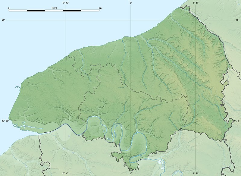
ファイル:Seine-Maritime department relief location map.jpg

このプレビューのサイズ: 800 × 584 ピクセル。 その他の解像度: 320 × 234 ピクセル | 640 × 467 ピクセル | 1,024 × 748 ピクセル | 1,331 × 972 ピクセル。
元のファイル (1,331 × 972 ピクセル、ファイルサイズ: 211キロバイト、MIME タイプ: image/jpeg)
ファイルの履歴
過去の版のファイルを表示するには、その版の日時をクリックしてください。
| 日付と時刻 | サムネイル | 寸法 | 利用者 | コメント | |
|---|---|---|---|---|---|
| 現在の版 | 2010年7月18日 (日) 21:18 |  | 1,331 × 972 (211キロバイト) | Sting | Color profile |
| 2010年6月30日 (水) 17:31 |  | 1,331 × 972 (218キロバイト) | Sting | == {{int:filedesc}} == {{Location|49|39|45|N|00|55|30|E|scale:400000}} <br/> {{Information |Description={{en|Blank physical map of the department of Seine-Maritime, France, for geo-locati |
ファイルの使用状況
以下のページがこのファイルを使用しています:
グローバルなファイル使用状況
以下に挙げる他のウィキがこの画像を使っています:
- als.wikipedia.org での使用状況
- cs.wikipedia.org での使用状況
- de.wikipedia.org での使用状況
- de.wikivoyage.org での使用状況
- en.wikipedia.org での使用状況
- eo.wikipedia.org での使用状況
- Havro
- Rueno
- Fécamp
- Dieppe
- Le Grand-Quevilly
- Forges-les-Eaux
- Saint-Saëns
- Kverko de Allouville
- Clères
- Ŝablono:Situo sur mapo Francio Seine-Maritime
- Tram-metroo de Rouen
- Lillebonne
- Saint-Étienne-du-Rouvray
- Le Tréport
- Yvetot
- Rolleville
- Montivilliers
- Saint-Aubin-lès-Elbeuf
- Elbeuf
- Oissel
- Serqueux (Seine-Maritime)
- Bréauté
- Beuzeville-la-Grenier
- Sotteville-lès-Rouen
- Varengeville-sur-Mer
- Sainte-Marguerite-sur-Mer
- Aumale (Seine-Maritime)
- Eu (Seine-Maritime)
- Amfreville-la-Mi-Voie
- Arques-la-Bataille
- Aubermesnil-Beaumais
- Belbeuf
- Bihorel
- Bois-Guillaume
- Bonsecours (Seine-Maritime)
- La Bouille
このファイルのグローバル使用状況を表示する。
