ファイル:California 198.svg

この SVG ファイルのこの PNG プレビューのサイズ: 449 × 401 ピクセル. その他の解像度: 269 × 240 ピクセル | 538 × 480 ピクセル | 860 × 768 ピクセル | 1,147 × 1,024 ピクセル | 2,293 × 2,048 ピクセル。
元のファイル (SVG ファイル、449 × 401 ピクセル、ファイルサイズ: 15キロバイト)
ウィキメディア・コモンズのファイルページにある説明を、以下に表示します。
|
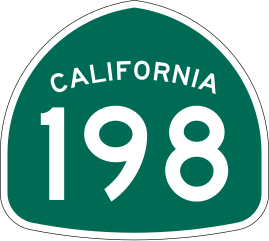
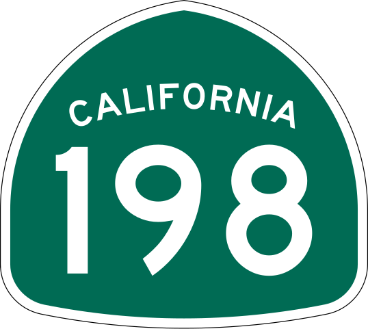
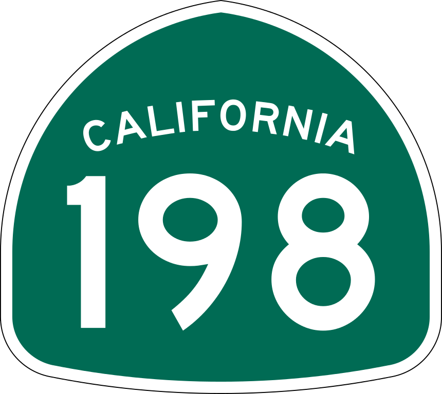
| 解説 | Vector image of a 24 in by 25 in (600 mm by 635 mm) California State Route shield. Colors are from [1] (Pantone Green 342), converted to RGB by [2]. The outside border has a width of 1 (1/16 in) and a color of black so it shows up; in reality, signs have no outside border. |
| 日付 | |
| 原典 | Made to the specifications of the 1971 Caltrans sign drawing (still in use). Uses the Roadgeek 2005 fonts. (United States law does not permit the copyrighting of typeface designs, and the fonts are meant to be copies of a U.S. Government-produced work anyway.) |
| 作者 | SPUI |
| その他のバージョン |
|
| SVG 開発 | この ロゴタイプはAdobe Illustratorで作成されました。 |
This file is in the public domain because it comes from the California Manual on Uniform Traffic Control Devices, sign number G28-2 (CA), which states specifically in its introduction, on page 44 that:
|
ファイルの履歴
過去の版のファイルを表示するには、その版の日時をクリックしてください。
| 日付と時刻 | サムネイル | 寸法 | 利用者 | コメント | |
|---|---|---|---|---|---|
| 現在の版 | 2006年3月20日 (月) 18:16 | | 449 × 401 (15キロバイト) | SPUI~commonswiki | {{spuiother}} 28 in by 25 in California State Route shield, made to the specifications of the [http://www.dot.ca.gov/hq/traffops/signtech/signdel/specs/G28-2.pdf 1971 Caltrans sign drawing] (still in use). Uses the [http://www.triskele.com/fonts/index.htm |
ファイルの使用状況
以下の 5 ページがこのファイルを使用しています:
グローバルなファイル使用状況
以下に挙げる他のウィキがこの画像を使っています:
- de.wikipedia.org での使用状況
- en.wikipedia.org での使用状況
- Fresno County, California
- Kings County, California
- Monterey County, California
- Tulare County, California
- Armona, California
- Northern California
- California State Route 99
- U.S. Route 199
- California State Route 25
- California State Route 41
- Central California
- California State Route 33
- Wikipedia:WikiProject U.S. Roads/Redirects/California
- Generals Highway
- California State Route 43
- California State Route 198
- California State Route 63
- California State Route 65
- California State Route 245
- California State Route 269
- California State Route 180
- U.S. Route 101 in California
- California State Route 197
- California State Route 216
- Interstate 5 in California
- List of toll roads in the United States
- List of highways numbered 198
- List of state highways in California
- Metropolitan Fresno
- California county routes in zone J
- Transportation in Visalia
- Ben Maddox Way
- Template:Cross Valley Corridor
- Cross Valley Corridor
- User:Tv's emory/Sandbox/List of state highways in California
- List of bridges documented by the Historic American Engineering Record in California
- en.wikivoyage.org での使用状況
- es.wikipedia.org での使用状況
このファイルのグローバル使用状況を表示する。